


Business Transformation Asia hosts virtual summit on geospatial technologies
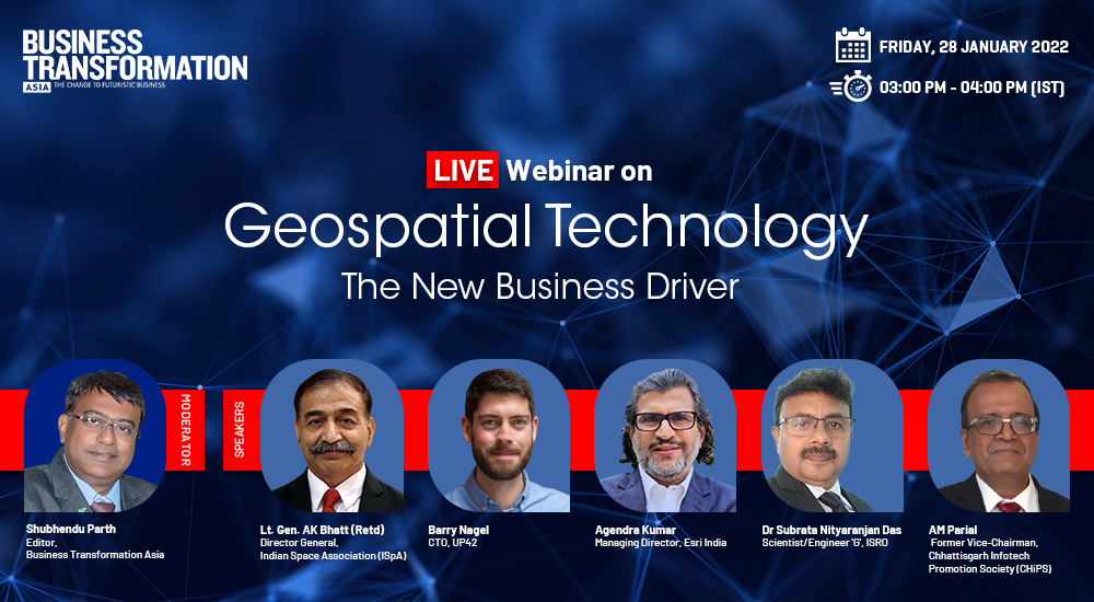
GEC Media Group and Business Transformation Asia hosted a virtual summit on Geospatial Technology: The New Business Driver. The event deliberated on the impact of the policy changes and the new guidelines for the Geospatial sector in India, the new opportunities, and how businesses can benefit from geospatial data and analytics.
In February 2021, the Ministry of Science and Technology in India had released new guidelines for the sector with the intent to deregulate the existing protocols and liberalises the sector and make it more competitive by allowing private sector participation. The new policy means that companies can now acquire and use locational data and geospatial data services, including maps, without any license or approval.
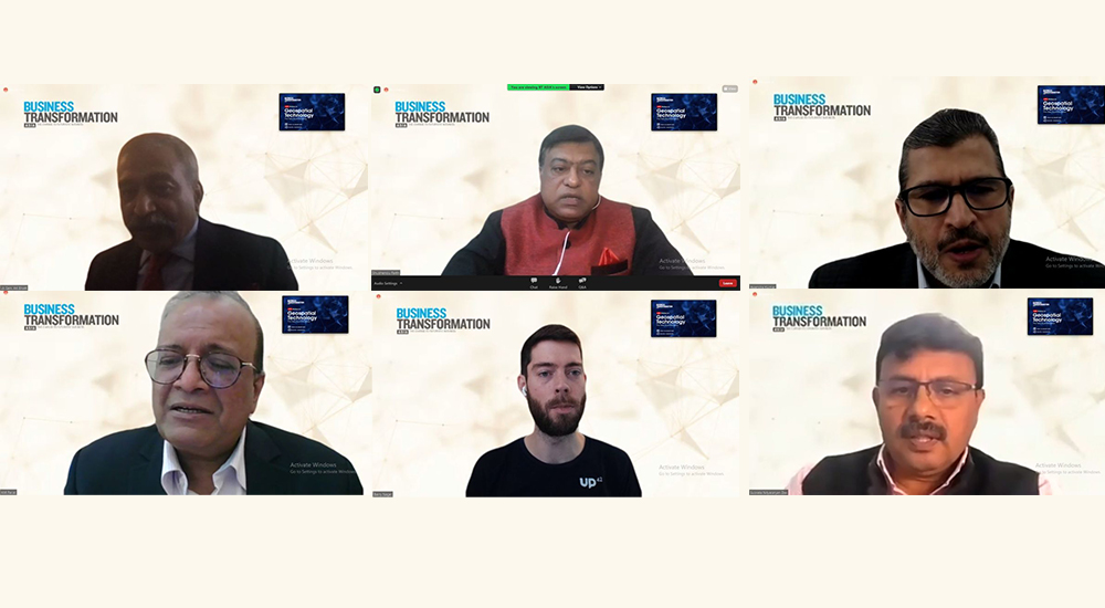
The virtual summit was joined by experts including Lt General AK Bhatt Retd, Director General, Indian Space Association; Dr Subrata Nityaranjan Das, Scientist-Engineer G, ISRO; Agendra Kumar, Managing Director, Esri India; AM Parial, Former Vice-Chairman, CHiPS; Barry Nagel, CTO, UP42. It was moderated by Shubhendu Parth, Editor, Business Transformation Asia.
Speaking at the event, Lt General AK Bhatt talked about the change in policy for the space sector and said, “Space which has always been the domain of government was now being opened to the entire private sector.”

Dr Subrata Nityaranjan Das, spoke about the space-based remote sensing policy of India and said, “It is one of the affordable techniques for carrying out the development activities within the government or in the private sector.”

AM Parial said, “There has been use of geospatial data at CHiPS, the Naya Raipur Smart City project, and the power sector. Basically, as a practitioner and user of such kind of technology, these are really path-breaking, and it was long-awaited.”

Barry Nagel, talked about the steps taken by India to unlock the space sector and democratise geospatial technology and said, “Governmental organisations rely more on and more earth observation technology.”

Agendra Kumar, talked about the different government agencies and the private sector organisations in term of driving innovation and using geospatial technology. “The value of data is not that easy to calculate. Often the value derived out of geospatial data is anonymous, but it may not be in terms of direct rupees or dollars.”

The virtual summit was attended by business and IT decision-makers and solution providers from across the sector, policymakers from the central and state governments, start-ups, researchers and academia.